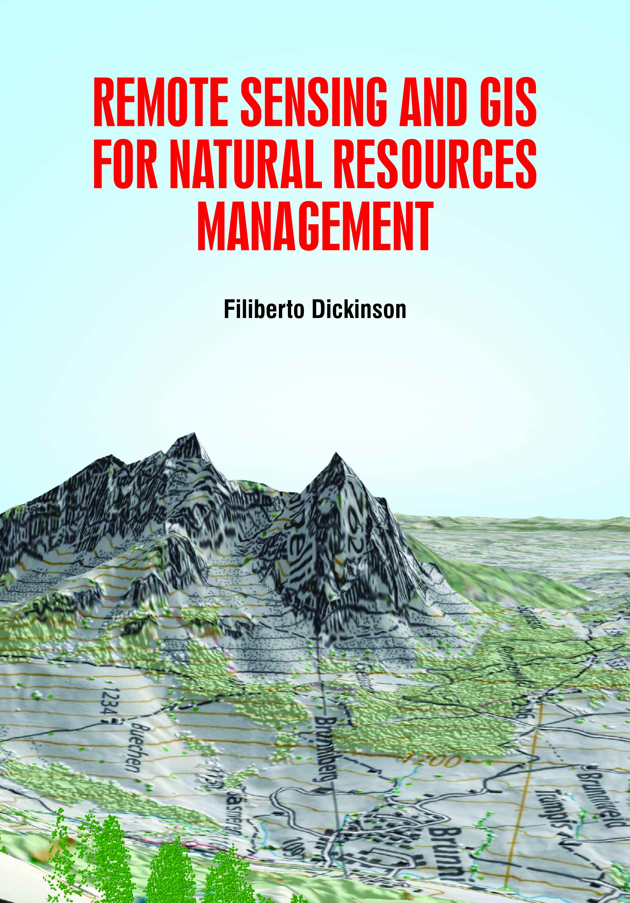
Remote Sensing and GIS for Natural Resources Management
by Filiberto Dickinson
| ISBN | 9781799601104 |
|---|---|
| Publisher | White Press Academics |
| Copyright Year | 2020 |
| Price | $230.00 |

by Filiberto Dickinson
| ISBN | 9781799601104 |
|---|---|
| Publisher | White Press Academics |
| Copyright Year | 2020 |
| Price | $230.00 |
Remote sensing and Geographical Information System (GIS) offers an abundant opportunity to monitor and manage natural resources at multi-temporal, multi-spectral and multi-spatial resolution. It is an urgent need to understand the specialized capabilities of an ever-expanding array of image sources and analysis techniques for natural resource managers. In this review, we compile the various applications of remote sensing and GIS tools that can be used for natural resource management (agriculture, water, forest, soil, natural hazards). The book is useful for the natural resource managers to understand and more effectively collaborate with remote sensing scientists to develop and apply remote sensing science to achieve monitoring objectives. GIS is a suitable technology for the understanding of natural resource management. It is an effective technique to learn the factors affecting environment including its result and execution. The geospatial data taken through this GIS meet the sustainable use of natural resources. Thus, GIS in natural resource management guides in managing the resources properly and wisely in present and future generation. In addition, GIS in natural resource management helps in management of natural resources effectively and efficiently. GIS has important uses in different fields, including in the environmental field.